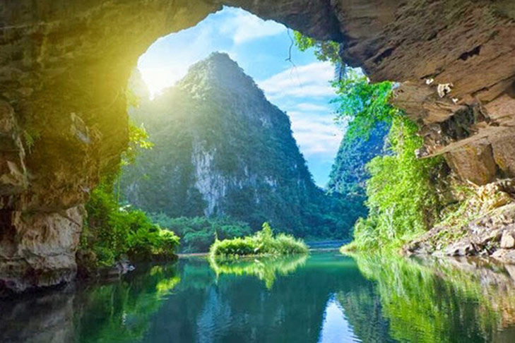
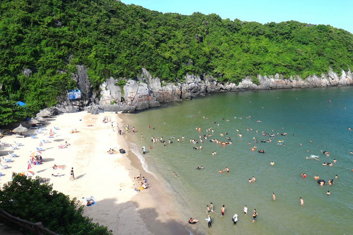
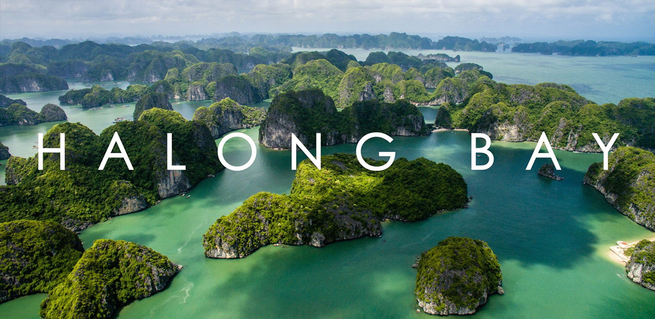
HA LONG BAY
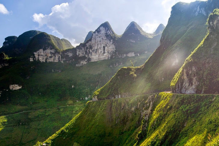
About Ha Long Bay Located in Northeast Vietnam, Ha Long Bay is part of the Gulf of Tonkin, including the waters of Ha Long City, Cam Pha Town and part of Van Don Island District. To the south-west, the bay borders Cat Ba Island, the east is the sea, the rest is adjacent to the coastline of 120 km, Halong Bay has two types of limestone islands and shale islands, mainly in the southeast (in Bai Tu Long Bay) and south west (in the Ha Long Bay) Geological formation of 250 - 280 million years. The densely populated rocky landscape and many beautiful caves are known as the central natural heritage of Ha Long Bay, including Ha Long Bay and part of Bai Tu Long Bay.
The World Heritage Site has an area of 434 km2, including 775 islands, as a triangle with three peaks, West Wood Island, Ba Ham Lake (south), Cong Tay Island east) the adjacent area is the buffer zone and the national scenic site ranked by the Ministry of Culture and Information in 1962.
With such special values, on December 17, 1994, at the 18th session of the UNESCO World Heritage Council held in Thailand, Ha Long Bay was officially recognized as a Natural Heritage , affirming the global value of the World Natural Heritage Ha Long Bay.
Places to visit when coming to Ha Long: Dau Go Cave, Sung Sot Cave, Monkey Island, Yen Ngu Island, ....


.png)

 fr
fr